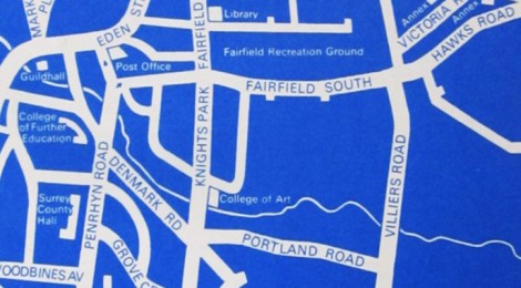
Maps of KSA
A selection of maps of Knights Park’s location in Kingston, taken from KSA prospectuses from the 30s, 40s and 50s:
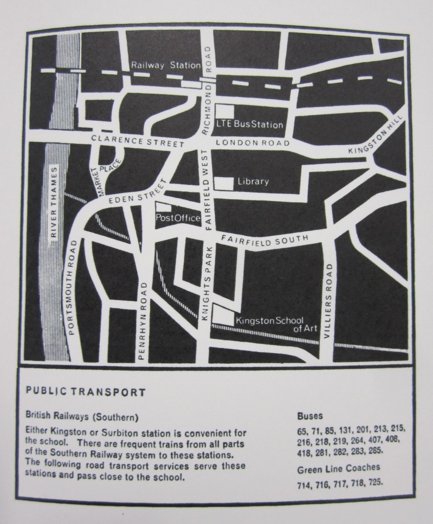
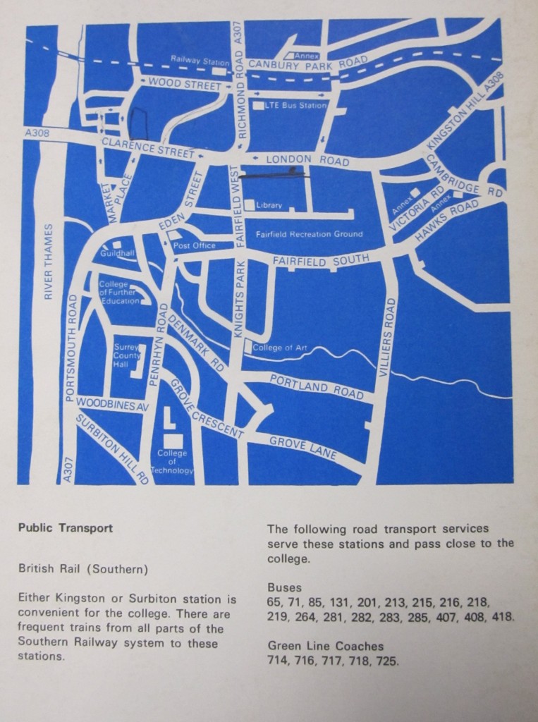
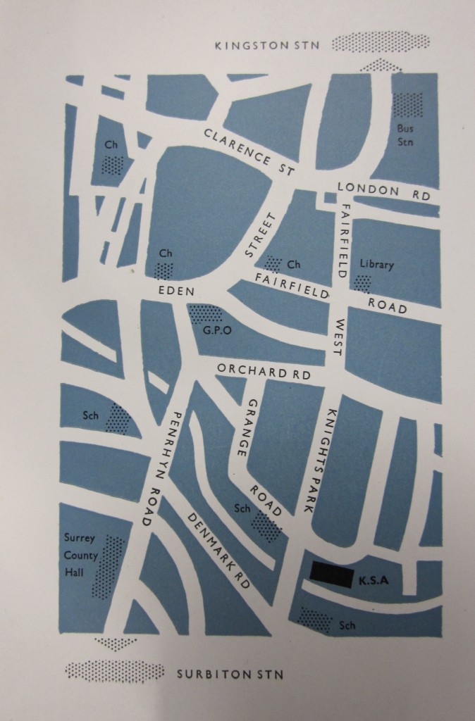
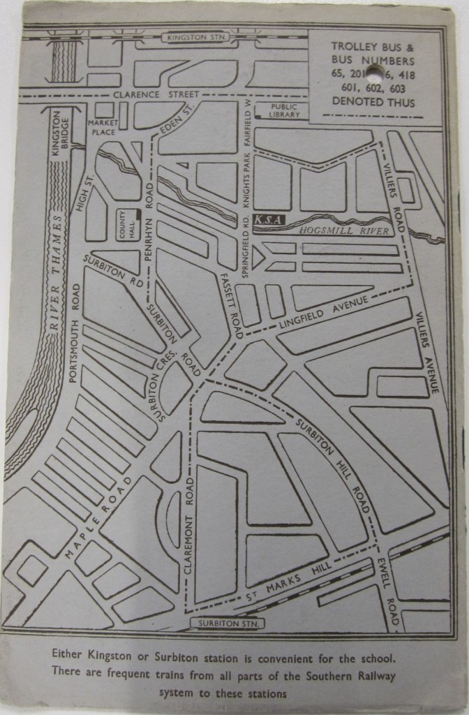
A selection of maps of Knights Park’s location in Kingston, taken from KSA prospectuses from the 30s, 40s and 50s: